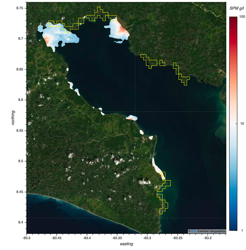
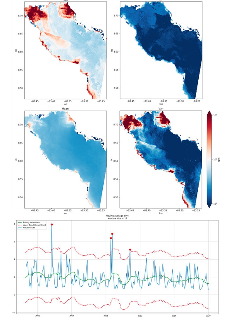
Both optical and radar remote sensing methods provide data at very large scales globally. We can map, analyse, and monitor several environmental indicators. (e.g. water quality, water temperature, bathymetry, land cover, and land use)
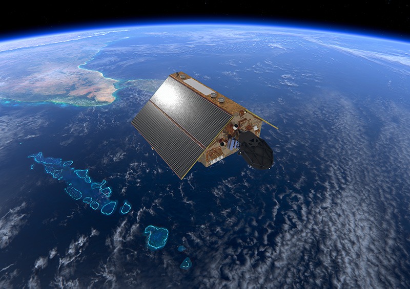
SATELLITE IMAGERY
Where a higher spatial resolution and more frequent visit is required, inwith our local partners, we use drones for data collection. (e.g. bleaching events, illegal boat traffic, post disaster damage assessment)
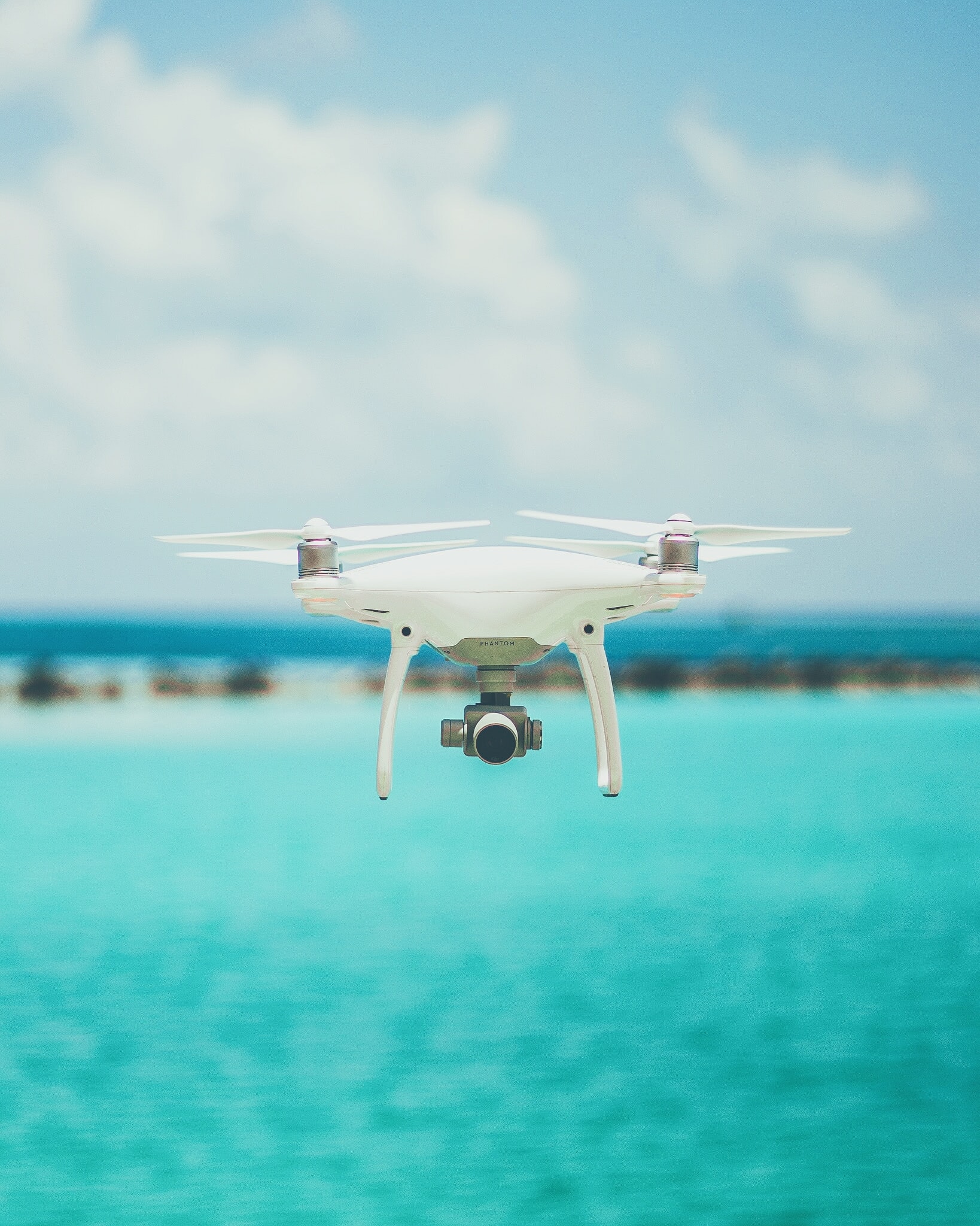
DRONE ACQUISITION
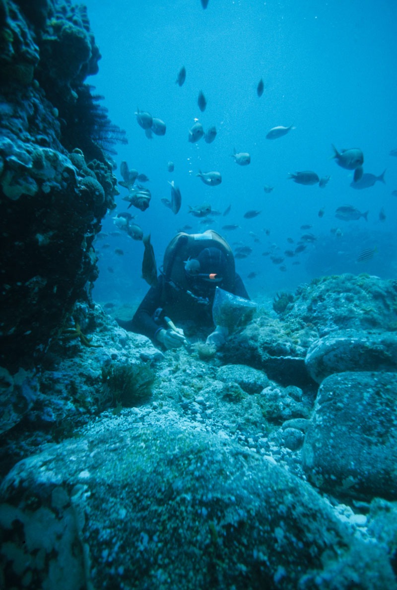
Field data collected locally enriches our analysis and models and is also used for validation and accuracy assessment of our products. (e.g. water quality indicators, bleaching reports, land cover samples and species distribution).